
Borden topographic map
Interactive map
Click on the map to display elevation.
About this map
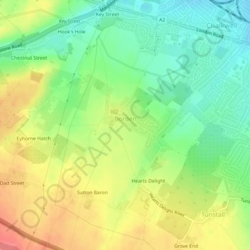
Name: Borden topographic map, elevation, terrain.
Location: Borden, Kent, South East, England, United Kingdom (51.32873 0.69808 51.33773 0.71302)
Average elevation: 51 m
Minimum elevation: 18 m
Maximum elevation: 90 m