
Eerde topographic map
Interactive map
Click on the map to display elevation.
About this map
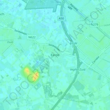
Name: Eerde topographic map, elevation, terrain.
Location: Eerde, North Brabant, Netherlands, 5466, Netherlands (51.58344 5.47801 51.62344 5.51801)
Average elevation: 11 m
Minimum elevation: 7 m
Maximum elevation: 29 m