
Monticello topographic map
Interactive map
Click on the map to display elevation.
About this map
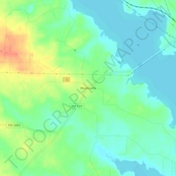
Name: Monticello topographic map, elevation, terrain.
Location: Monticello, Titus County, Texas, United States of America (33.07595 -95.10577 33.11595 -95.06577)
Average elevation: 118 m
Minimum elevation: 102 m
Maximum elevation: 149 m