
Meinborn topographic map
Interactive map
Click on the map to display elevation.
About this map
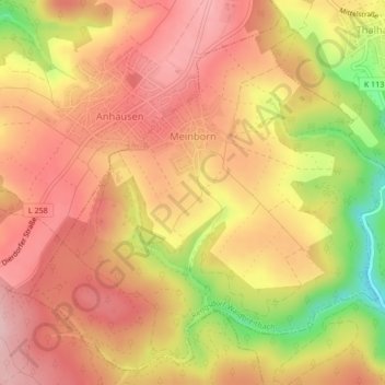
Name: Meinborn topographic map, elevation, terrain.
Average elevation: 294 m
Minimum elevation: 164 m
Maximum elevation: 364 m
Der Ort liegt am Rande des Westerwaldes direkt auf der Anhöhe des Neuwieder Beckens im Naturpark Rhein-Westerwald südlich von Rengsdorf.