
Gas Point topographic map
Interactive map
Click on the map to display elevation.
About this map
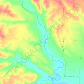
Name: Gas Point topographic map, elevation, terrain.
Location: Gas Point, Shasta County, California, United States (40.39543 -122.55446 40.43543 -122.51446)
Average elevation: 217 m
Minimum elevation: 170 m
Maximum elevation: 271 m