
Vélez topographic map
Interactive map
Click on the map to display elevation.
About this map
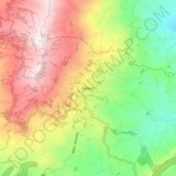
Name: Vélez topographic map, elevation, terrain.
Location: Vélez, Santander, Colombia (5.97236 -73.71296 6.05236 -73.63296)
Average elevation: 2,133 m
Minimum elevation: 1,542 m
Maximum elevation: 2,797 m
Other topographic maps
Click on a map to view its topography, its elevation and its terrain.