
Ban Doi Pu Toui topographic map
Interactive map
Click on the map to display elevation.
About this map
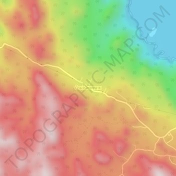
Name: Ban Doi Pu Toui topographic map, elevation, terrain.
Location: Ban Doi Pu Toui, Kanchanaburi Province, Thailand (14.39642 99.04006 14.43642 99.08006)
Average elevation: 519 m
Minimum elevation: 166 m
Maximum elevation: 776 m