
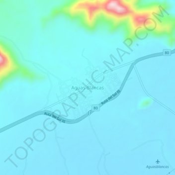
Aguas Blancas topographic map
Interactive map
Click on the map to display elevation.
About this map
Name: Aguas Blancas topographic map, elevation, terrain.
Location: Aguas Blancas, Valledupar, Cesar, Caribe, Colombia (10.20448 -73.51141 10.24448 -73.47141)
Average elevation: 119 m
Minimum elevation: 84 m
Maximum elevation: 390 m