
Dalton topographic map
Interactive map
Click on the map to display elevation.
About this map
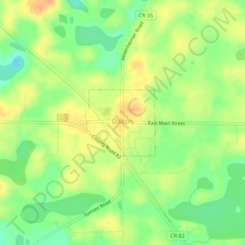
Name: Dalton topographic map, elevation, terrain.
Location: Dalton, Otter Tail County, Minnesota, United States (46.17003 -95.92153 46.17734 -95.91041)
Average elevation: 408 m
Minimum elevation: 387 m
Maximum elevation: 427 m
Other topographic maps
Click on a map to view its topography, its elevation and its terrain.
Fergus Falls
United States > Minnesota > Otter Tail County > Fergus Falls > Fergus Falls
Fergus Falls, Otter Tail County, Minnesota, 56537, United States
Average elevation: 375 m