
Mansonville topographic map
Interactive map
Click on the map to display elevation.
About this map
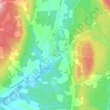
Name: Mansonville topographic map, elevation, terrain.
Location: Mansonville, Memphrémagog, Estrie, Quebec, Canada (45.02978 -72.41189 45.06978 -72.37189)
Average elevation: 211 m
Minimum elevation: 151 m
Maximum elevation: 309 m