
Driggs topographic map
Interactive map
Click on the map to display elevation.
About this map
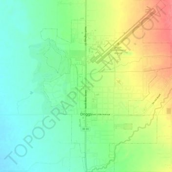
Name: Driggs topographic map, elevation, terrain.
Location: Driggs, Teton County, Idaho, United States of America (43.70848 -111.12690 43.75204 -111.08104)
Average elevation: 1,866 m
Minimum elevation: 1,838 m
Maximum elevation: 1,909 m
Driggs is located at 43°43′31″N 111°6′22″W / 43.72528°N 111.10611°W / 43.72528; -111.10611 (43.725210, -111.106005), at an elevation of 6,109 feet (1,862 m) above sea level.