
Cimetière topographic map
Interactive map
Click on the map to display elevation.
About this map
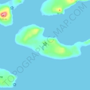
Name: Cimetière topographic map, elevation, terrain.
Location: Cimetière, French Southern and Antarctic Lands, France (-49.51256 70.05708 -49.47256 70.09708)
Average elevation: 7 m
Minimum elevation: -1 m
Maximum elevation: 113 m