
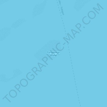
Pangapasan Island topographic map
Interactive map
Click on the map to display elevation.
About this map
Name: Pangapasan Island topographic map, elevation, terrain.
Location: Pangapasan Island, Bohol, Central Visayas, Philippines (9.97797 123.92050 10.01797 123.96050)
Average elevation: 0 m
Minimum elevation: 0 m
Maximum elevation: 0 m