
Fadiouth topographic map
Interactive map
Click on the map to display elevation.
About this map
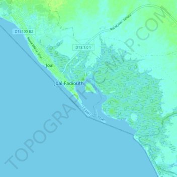
Name: Fadiouth topographic map, elevation, terrain.
Location: Fadiouth, Thiès, Thiès Region, Senegal (14.11208 -16.86345 14.19208 -16.78345)
Average elevation: 2 m
Minimum elevation: -3 m
Maximum elevation: 11 m