
Gary topographic map
Interactive map
Click on the map to display elevation.
About this map
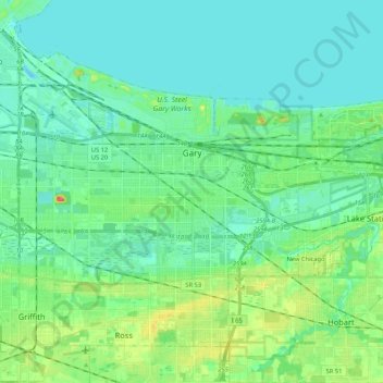
Name: Gary topographic map, elevation, terrain.
Location: Gary, Lake County, Indiana, United States (41.52194 -87.43311 41.65006 -87.22205)
Average elevation: 185 m
Minimum elevation: 173 m
Maximum elevation: 224 m