
Joffre topographic map
Interactive map
Click on the map to display elevation.
About this map
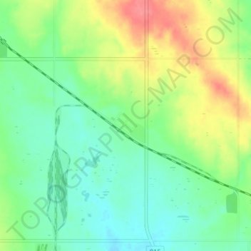
Name: Joffre topographic map, elevation, terrain.
Location: Joffre, Lacombe County, Alberta, Canada (52.31595 -113.55701 52.35595 -113.51701)
Average elevation: 890 m
Minimum elevation: 866 m
Maximum elevation: 933 m