
Mayberry topographic map
Interactive map
Click on the map to display elevation.
About this map
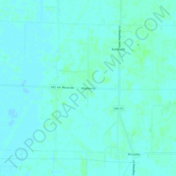
Name: Mayberry topographic map, elevation, terrain.
Location: Mayberry, Butler County, Missouri, 63932, United States (36.67006 -90.27483 36.71006 -90.23483)
Average elevation: 97 m
Minimum elevation: 95 m
Maximum elevation: 101 m