
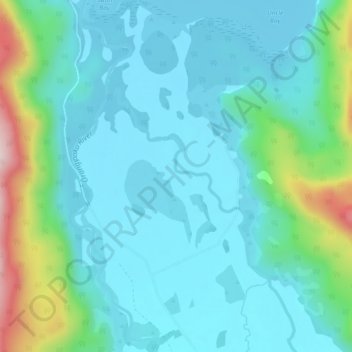
Bruce Creek topographic map
Interactive map
Click on the map to display elevation.
About this map
Name: Bruce Creek topographic map, elevation, terrain.
Location: Bruce Creek, Grey District, West Coast, New Zealand (-42.68606 171.43448 -42.65225 171.46270)
Average elevation: 168 m
Minimum elevation: 87 m
Maximum elevation: 508 m