
Gogoma topographic map
Interactive map
Click on the map to display elevation.
About this map
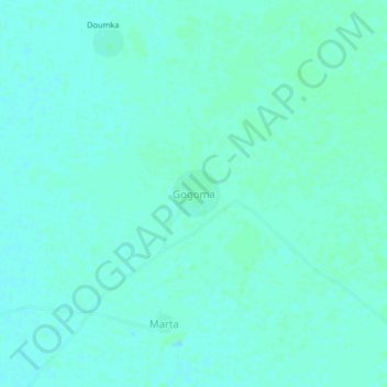
Name: Gogoma topographic map, elevation, terrain.
Location: Gogoma, Batha, Chad (12.97151 17.58808 13.01151 17.62808)
Average elevation: 293 m
Minimum elevation: 290 m
Maximum elevation: 296 m