
Port Hope Simpson topographic map
Interactive map
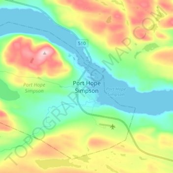
Click on the map to display elevation.
About this map
Name: Port Hope Simpson topographic map, elevation, terrain.
Average elevation: 97 m
Minimum elevation: 0 m
Maximum elevation: 285 m
Other topographic maps
Click on a map to view its topography, its elevation and its terrain.
Port Hope Simpson
Canada > Newfoundland and Labrador > Port Hope Simpson
Port Hope Simpson, Labrador, Newfoundland and Labrador, Canada
Average elevation: 98 m