
Dobrota topographic map
Interactive map
Click on the map to display elevation.
About this map
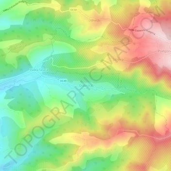
Name: Dobrota topographic map, elevation, terrain.
Location: Dobrota, Gornet-Cricov, Prahova, 107292, Romania (45.08022 26.26325 45.12022 26.30325)
Average elevation: 310 m
Minimum elevation: 161 m
Maximum elevation: 492 m
Other topographic maps
Click on a map to view its topography, its elevation and its terrain.