
Irvine topographic map
Interactive map
Click on the map to display elevation.
About this map
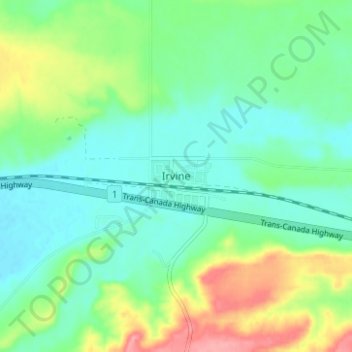
Name: Irvine topographic map, elevation, terrain.
Location: Irvine, Cypress County, Alberta, Canada (49.93844 -110.29326 49.97844 -110.25326)
Average elevation: 781 m
Minimum elevation: 753 m
Maximum elevation: 845 m