
Innlandet topographic map
Interactive map
Click on the map to display elevation.
About this map
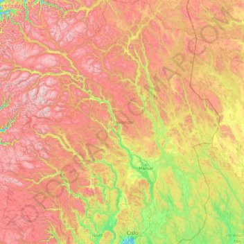
Name: Innlandet topographic map, elevation, terrain.
Location: Innlandet, Norway (59.84078 7.34253 62.69693 12.87086)
Average elevation: 778 m
Minimum elevation: 0 m
Maximum elevation: 2,384 m