
McConnell Creek topographic map
Interactive map
Click on the map to display elevation.
About this map
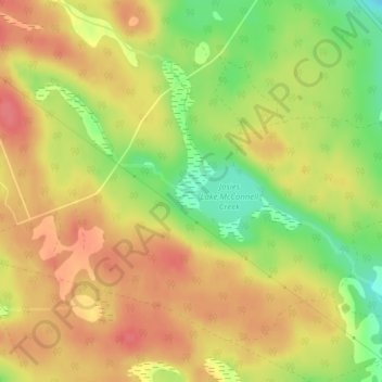
Name: McConnell Creek topographic map, elevation, terrain.
Average elevation: 202 m
Minimum elevation: 163 m
Maximum elevation: 227 m
Other topographic maps
Click on a map to view its topography, its elevation and its terrain.
Chalk River
Canada > Ontario > Laurentian Hills
Chalk River, Laurentian Hills, Renfrew County, Ontario, Canada
Average elevation: 201 m