
Татти topographic map
Interactive map
Click on the map to display elevation.
About this map
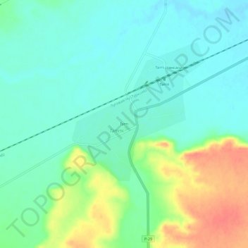
Name: Татти topographic map, elevation, terrain.
Location: Татти, Меркенский район, Jambyl Region, Kazakhstan (43.19506 73.28155 43.23506 73.32155)
Average elevation: 564 m
Minimum elevation: 547 m
Maximum elevation: 599 m