
Eura topographic map
Interactive map
Click on the map to display elevation.
About this map
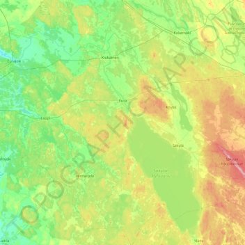
Name: Eura topographic map, elevation, terrain.
Location: Eura, Rauman seutukunta, Satakunta, Mainland Finland, Finland (60.87200 21.84410 61.30879 22.26362)
Average elevation: 48 m
Minimum elevation: 5 m
Maximum elevation: 145 m