
Barrancabermeja topographic map
Interactive map
Click on the map to display elevation.
About this map
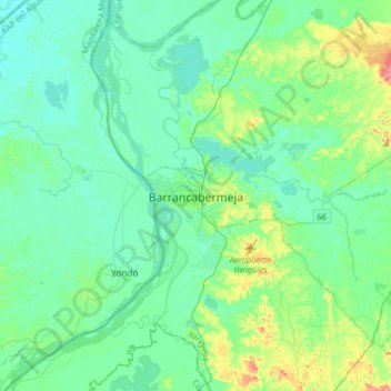
Name: Barrancabermeja topographic map, elevation, terrain.
Location: Barrancabermeja, Yariguíes, Santander, 687031, Colombie (7.02733 -73.89256 7.10733 -73.81256)
Average elevation: 79 m
Minimum elevation: 64 m
Maximum elevation: 119 m