
High Level topographic map
Interactive map
Click on the map to display elevation.
About this map
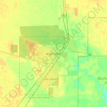
Name: High Level topographic map, elevation, terrain.
Location: High Level, Town of High Level, Alberta, Canada (58.47667 -117.17333 58.55667 -117.09333)
Average elevation: 328 m
Minimum elevation: 313 m
Maximum elevation: 337 m
High Level has a subarctic climate (Köppen climate classification Dfc), with precipitation falling chiefly during the spring and summer, and wide temperature variations, rendering warm summers for the classification. The hottest recorded temperature, of 35.2 °C (95.4 °F) was on August 9, 1985, with the coldest recorded temperature −50.6 °C (−59.1 °F) on January 13, 1972. The name notwithstanding, this town lies at a low elevation for an Alberta community and the regional topography contributes to the extremes of temperature. In winter, very cold air often pools over the area. In summer, air masses originating from higher elevations warm by compression as they descend to High Level. Summer temperatures render High Level well within the vegetation zone, and winter average temperatures are less severe than further east in Canada even on lower latitudes.