
Harley topographic map
Interactive map
Click on the map to display elevation.
About this map
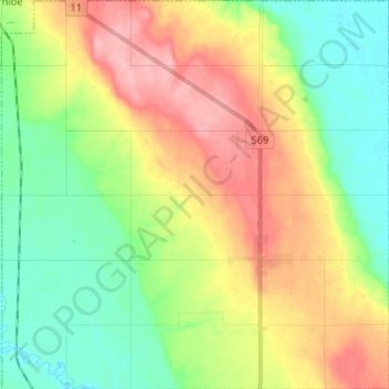
Name: Harley topographic map, elevation, terrain.
Location: Harley, Timiskaming District, Ontario, P0J 1S0, Canada (47.58077 -79.75990 47.66775 -79.63128)
Average elevation: 226 m
Minimum elevation: 181 m
Maximum elevation: 287 m