
Lindsay topographic map
Interactive map
Click on the map to display elevation.
About this map
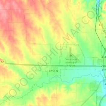
Name: Lindsay topographic map, elevation, terrain.
Location: Lindsay, Cooke County, Texas, United States (33.59691 -97.23868 33.71342 -97.19250)
Average elevation: 260 m
Minimum elevation: 217 m
Maximum elevation: 312 m