
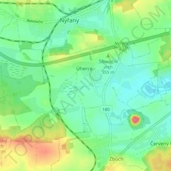
Úherce topographic map
Interactive map
Click on the map to display elevation.
About this map
Name: Úherce topographic map, elevation, terrain.
Location: Úherce, okres Plzeň-sever, Plzeňský kraj, Southwest, Czechia (49.68317 13.18111 49.71010 13.24712)
Average elevation: 348 m
Minimum elevation: 326 m
Maximum elevation: 392 m