
Fairlee topographic map
Interactive map
Click on the map to display elevation.
About this map
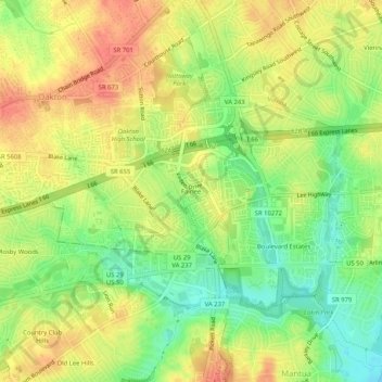
Name: Fairlee topographic map, elevation, terrain.
Location: Fairlee, Fairfax County, Virginia, 20030, United States (38.85279 -77.29359 38.89279 -77.25359)
Average elevation: 109 m
Minimum elevation: 80 m
Maximum elevation: 132 m