
Rice topographic map
Interactive map
Click on the map to display elevation.
About this map
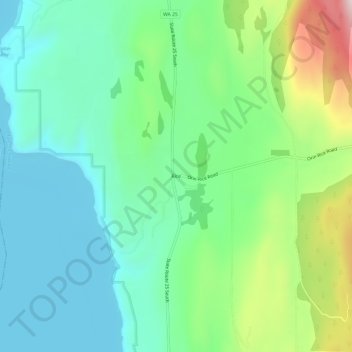
Name: Rice topographic map, elevation, terrain.
Location: Rice, Stevens County, Washington, United States (48.40878 -118.19027 48.44878 -118.15027)
Average elevation: 536 m
Minimum elevation: 384 m
Maximum elevation: 932 m