
Hubbardton topographic map
Interactive map
Click on the map to display elevation.
About this map
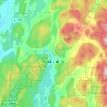
Name: Hubbardton topographic map, elevation, terrain.
Location: Hubbardton, Rutland County, Vermont, United States (43.67601 -73.23722 43.75227 -73.10822)
Average elevation: 242 m
Minimum elevation: 95 m
Maximum elevation: 514 m