
Borum topographic map
Interactive map
Click on the map to display elevation.
About this map
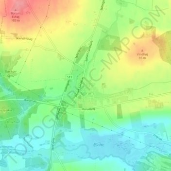
Name: Borum topographic map, elevation, terrain.
Location: Borum, Aarhus Municipality, Central Denmark Region, Denmark (56.18545 10.00867 56.19242 10.02544)
Average elevation: 49 m
Minimum elevation: 14 m
Maximum elevation: 100 m
Borum church is placed on an elevation in the south west, overlooking the village. The older Romanesque parts of the small church is built from granite ashlar. There are several stone carved decorations and church frescos in the church. A 43 x 32 cm grey granite stone with a chiselled sun cross from the Bronze Age was discovered in the 1890s, when an associated stone dyke was dismantled. It has been in possession of the National Museum of Denmark since 1902.