
Turtle Lake topographic map
Interactive map
Click on the map to display elevation.
About this map
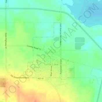
Name: Turtle Lake topographic map, elevation, terrain.
Location: Turtle Lake, McLean County, North Dakota, United States (47.51598 -100.90105 47.53103 -100.88107)
Average elevation: 572 m
Minimum elevation: 554 m
Maximum elevation: 597 m
Other topographic maps
Click on a map to view its topography, its elevation and its terrain.
McLean County
United States > North Dakota > McLean County
McLean County, North Dakota, United States
Average elevation: 596 m