
Tauchritz topographic map
Interactive map
Click on the map to display elevation.
About this map
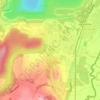
Name: Tauchritz topographic map, elevation, terrain.
Location: Tauchritz, Görlitz, Sachsen, Deutschland (51.05256 14.91788 51.07250 14.95741)
Average elevation: 206 m
Minimum elevation: 126 m
Maximum elevation: 263 m
Other topographic maps
Click on a map to view its topography, its elevation and its terrain.