
Stevenson topographic map
Interactive map
Click on the map to display elevation.
About this map
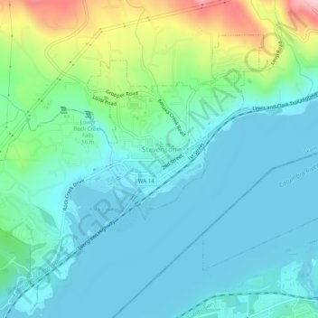
Name: Stevenson topographic map, elevation, terrain.
Location: Stevenson, Skamania County, Washington, USA (45.68074 -121.91890 45.70789 -121.86940)
Average elevation: 75 m
Minimum elevation: 18 m
Maximum elevation: 278 m