
Village of Canajoharie topographic map
Interactive map
Click on the map to display elevation.
About this map
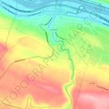
Name: Village of Canajoharie topographic map, elevation, terrain.
Average elevation: 167 m
Minimum elevation: 84 m
Maximum elevation: 251 m
Other topographic maps
Click on a map to view its topography, its elevation and its terrain.
City of Amsterdam
United States > New York > Montgomery County > City of Amsterdam
City of Amsterdam, Montgomery County, New York, 12010, United States
Average elevation: 148 m