
Kaeng Krachan District topographic map
Interactive map
Click on the map to display elevation.
About this map
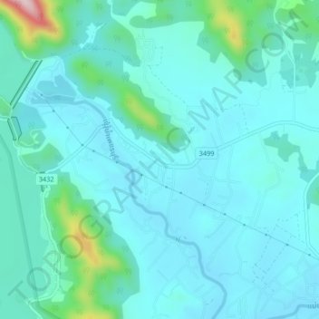
Name: Kaeng Krachan District topographic map, elevation, terrain.
Location: Kaeng Krachan District, Phetchaburi Province, 76170, Thailand (12.88735 99.62716 12.92735 99.66716)
Average elevation: 95 m
Minimum elevation: 48 m
Maximum elevation: 372 m
Other topographic maps
Click on a map to view its topography, its elevation and its terrain.
Bang Kao
Thailand > Phetchaburi Province
Bang Kao, Phetchaburi Province, Thailand
Average elevation: 15 m
Phetchaburi Province
Thailand > Phetchaburi Province
Phetchaburi Province, Thailand
Average elevation: 105 m
Cha-am
Thailand > Phetchaburi Province > Cha-am
Cha-am, Phetchaburi Province, Thailand
Average elevation: 11 m