
St Dogmaels topographic map
Interactive map
Click on the map to display elevation.
About this map
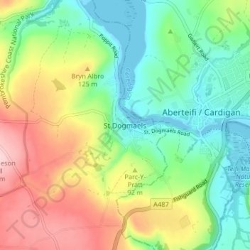
Name: St Dogmaels topographic map, elevation, terrain.
Location: St Dogmaels, Pembrokeshire, Wales, SA43 3ED, United Kingdom (52.06187 -4.70035 52.10187 -4.66035)
Average elevation: 78 m
Minimum elevation: -2 m
Maximum elevation: 205 m