
Cranbourne East topographic map
Interactive map
Click on the map to display elevation.
About this map
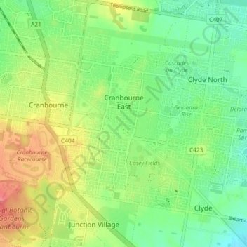
Name: Cranbourne East topographic map, elevation, terrain.
Location: Cranbourne East, City of Casey, Victoria, Australia (-38.14171 145.28824 -38.08451 145.32490)
Average elevation: 45 m
Minimum elevation: 17 m
Maximum elevation: 88 m