
Tropea topographic map
Interactive map
Click on the map to display elevation.
About this map
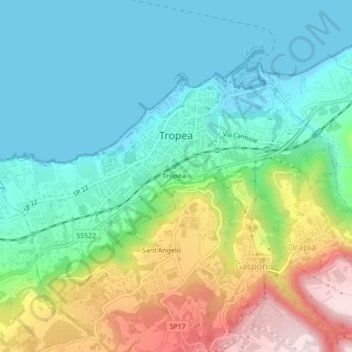
Name: Tropea topographic map, elevation, terrain.
Location: Tropea, Vibo Valentia, Calabria, 89861, Italy (38.65915 15.87130 38.68350 15.91460)
Average elevation: 129 m
Minimum elevation: -1 m
Maximum elevation: 429 m
Other topographic maps
Click on a map to view its topography, its elevation and its terrain.