
Jagraon topographic map
Interactive map
Click on the map to display elevation.
About this map
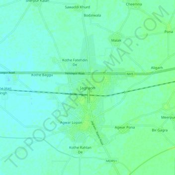
Name: Jagraon topographic map, elevation, terrain.
Location: Jagraon, Jagraon Tahsil, Ludhiana, Punjab, 142026, India (30.76417 75.43536 30.84417 75.51536)
Average elevation: 234 m
Minimum elevation: 230 m
Maximum elevation: 238 m
Jagraon is located at 30°47′N 75°29′E / 30.78°N 75.48°E / 30.78; 75.48. It has an average elevation of 234 metres (768 ft).