
Mount McBride topographic map
Interactive map
Click on the map to display elevation.
About this map
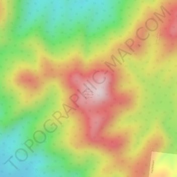
Name: Mount McBride topographic map, elevation, terrain.
Location: Mount McBride, Mackay, Queensland, Australia (-21.31627 148.89597 -21.31617 148.89607)
Average elevation: 296 m
Minimum elevation: 91 m
Maximum elevation: 480 m
Other topographic maps
Click on a map to view its topography, its elevation and its terrain.
Mount Hector
Australia > Queensland > Mackay
Mount Hector, Mackay, Queensland, Australia
Average elevation: 3 m