
Pomfret topographic map
Interactive map
Click on the map to display elevation.
About this map
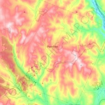
Name: Pomfret topographic map, elevation, terrain.
Location: Pomfret, Windsor County, Vermont, United States (43.63865 -72.58816 43.75815 -72.42639)
Average elevation: 376 m
Minimum elevation: 117 m
Maximum elevation: 591 m