
Busby topographic map
Interactive map
Click on the map to display elevation.
About this map
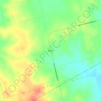
Name: Busby topographic map, elevation, terrain.
Location: Busby, Fisher County, Texas, USA (32.60289 -100.44094 32.64289 -100.40094)
Average elevation: 642 m
Minimum elevation: 616 m
Maximum elevation: 671 m