
Jinju-si topographic map
Interactive map
Click on the map to display elevation.
About this map
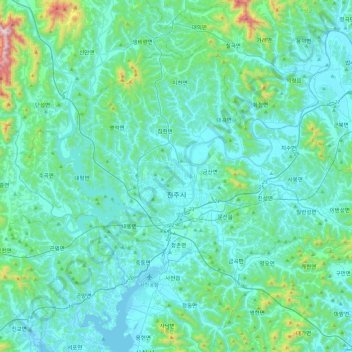
Name: Jinju-si topographic map, elevation, terrain.
Location: Jinju-si, Gyeongsangnam-do, South Korea (35.05030 127.88776 35.35108 128.36818)
Average elevation: 125 m
Minimum elevation: -2 m
Maximum elevation: 1,057 m
Other topographic maps
Click on a map to view its topography, its elevation and its terrain.
Seongbuk-dong
Seongbuk-dong, Jinju-si, South Gyeongsang, 52682, South Korea
Average elevation: 44 m