
The Forks topographic map
Interactive map
Click on the map to display elevation.
About this map
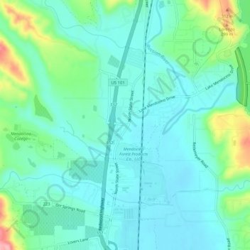
Name: The Forks topographic map, elevation, terrain.
Location: The Forks, Mendocino County, California, 95482, USA (39.17100 -123.22778 39.21100 -123.18778)
Average elevation: 214 m
Minimum elevation: 182 m
Maximum elevation: 320 m