
Floradale topographic map
Interactive map
Click on the map to display elevation.
About this map
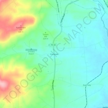
Name: Floradale topographic map, elevation, terrain.
Location: Floradale, Adams County, Pennsylvania, 17304, United States (39.93870 -77.26832 39.97870 -77.22832)
Average elevation: 223 m
Minimum elevation: 174 m
Maximum elevation: 340 m
Other topographic maps
Click on a map to view its topography, its elevation and its terrain.
Gettysburg
United States > Pennsylvania > Adams County
Gettysburg, Adams County, Pennsylvania, 17325, United States
Average elevation: 161 m
Orrtanna
United States > Pennsylvania > Adams County
Orrtanna, Adams County, Pennsylvania, United States
Average elevation: 205 m